
LIDAR

See All Stories

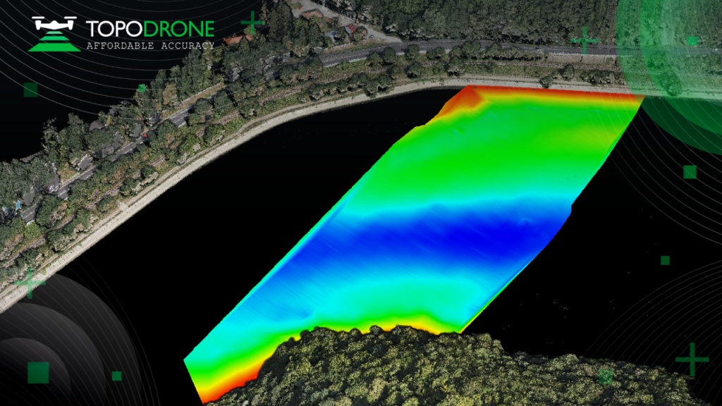
Flyability unveils new LiDAR payload for Elios 3 indoor drone

Flyability indoor drone lidar elios 3 payload surveying signal loss

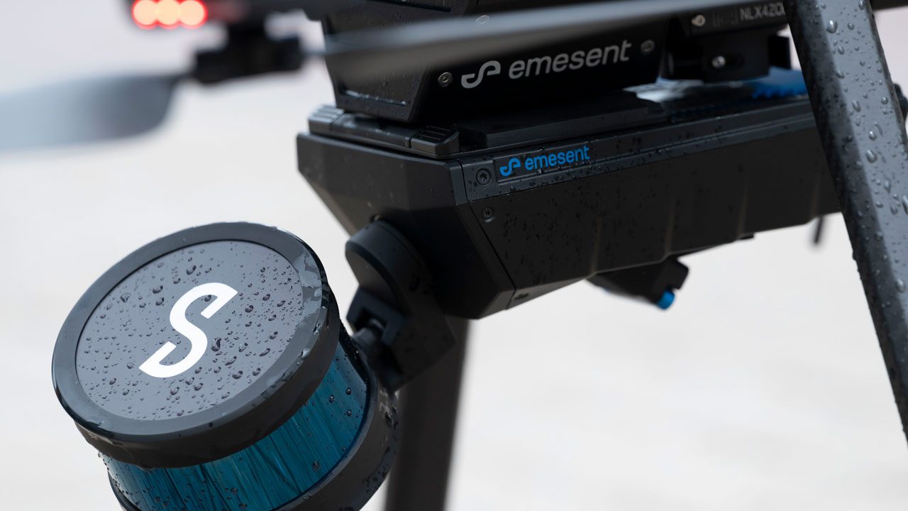
Confined spaces and indoor drone specialist Flyability has released a new LiDAR surveying payload for the Elios 3. Available as part of a bundle including training, reflective targets, and specialized processing software, FARO Connect, Flyability’s new Ouster OS0-128 Rev 7 payload is designed for safe, centimeter-accurate scans of hard-to-reach areas.

Expand Expanding Close

Draganfly’s new Heavy Lift delivery drone can transport packages weighing up to 67 pounds

Draganfly RSI India drone

Draganfly has announced a new delivery drone called Heavy Lift, which can transport packages weighing up to 67 pounds (30kg) to customers within 18 miles (30km). The Canadian drone manufacturer said over two decades of industry experience has gone into making this engineering feat possible. In addition, Draganfly has launched a long-range laser scanning system that can produce survey-grade point cloud data.

Expand Expanding Close

Emesent launches Hovermap ST autonomous drone LiDAR mapping and surveying payload

emesent hovermap st

Autonomous drone mapping startup Emesent has announced its latest survey-grade LiDAR payload: Hovermap ST. The lightweight, IP65-rated solution is being launched with Emesent’s new Automated Ground Control feature that, the company stresses, enables autonomous data capture in harsher environments than ever and for a wider range of use cases.

Expand Expanding Close
Drones help map Puerto Rico's coastal heritage

Drones help map Puerto Rico’s coastal heritage

Drones help map Puerto Rico’s coastal heritage. Indigenous sites along Puerto Rico’s coast dating back thousands of years are being mapped by U.S.-based scientists using drones. The researchers hope to identify which historic sites are most vulnerable before hurricanes and rising sea levels linked to climate change destroy a large chunk of the island’s history. Over the last two years, we have seen more and more researchers turn to drones to help them with their archeological research.


Expand
Expanding
Close

Drone with LiDAR reveals German SS concentration camp from WWII

Drone with LiDAR reveals German SS concentration camp from WWII

As we have seen in other cases, LiDAR-equipped drones are revealing secrets that have remained invisible to the naked eye. This time a drone with LiDAR reveals a German SS concentration camp from WWII. Old reconnaissance photos from the RAF had shown that during the war a prison camp had been present on Alderney in the Channel Islands, UK, but it took a drone to show where exactly the remains of the camp were located. Be sure to check out this video as well.


Expand
Expanding
Close

LIDAR-equipped drones reveal ancient settlement off Florida's coast

LIDAR-equipped drones reveal ancient settlement off Florida’s coast

In recent years LIDAR (light detection and ranging) technology has played a crucial role in discovering ancient settlements and mapping historic sites around the world. In this most recent story, The Guardian reports that LIDAR-equipped drones reveal an ancient settlement off the coast of Florida. The archaeological findings and remains date from 900 to 1200 CE.


Expand
Expanding
Close

Manage DroneDJ Push notifications

notification icon
We would like to show you notifications for the latest news and updates.
notification icon
Please wait...processing
notification icon
We would like to show you notifications for the latest news and updates.
notification icon
Please wait...processing