The effects of drone technology have been sufficiently disruptive – or perhaps “threatening” is a better term – to legacy land surveying officials that a North Carolina aerial imaging and mapping service provider is now having to defend attacks on his activity with arguments it’s a form of free speech protected by the First Amendment.
Though not as inspiring as an “I Have a Drone” speech, or appeals to “Let my gimble go,” the case now before North Carolina’s Fourth Circuit stands to influence the liberties of professional drone operators in the state, and perhaps beyond. At issue is the broader effort by decades- or centuries-old professions seeking to prevent aerial innovations from speeding and lowering costs of traditional services provided. The current litigation pits 360 Virtual Drone Services LLC owner Michael Jones against the seriously officious North Carolina Board of Examiners for Engineers and Surveyors.
The board insists the elevated mapping the startup has been doing for clients violates statutes requiring an official surveying license. Jones argues his data collection and communication is covered by First Amendment protections. As such, his case represents a free speech retort to the officials not unlike the FU Elon Musk recently delivered to advertisers fleeing his social media platform.
The motives behind the case are fairly obvious: members of a profession acting to protect vested interests threatened by neophyte interlopers wielding new-fangled contraptions; and innovative entrepreneurs insisting on their right to improve a regulated activity using new tech and applications. But with that tussle now involving lawyers, the upshot is a surfeit of bovine matter that would also require free speech protections to accurately and malodorously describe it in print.
An initial ruling upheld Jones’ right to capture and share images. But otherwise sided with the board in deciding existing statutes impose “a minimum level of competence, thereby protecting the public from negligence, incompetence, and professional misconduct… (and) misrepresentations as to professional status or expertise.”
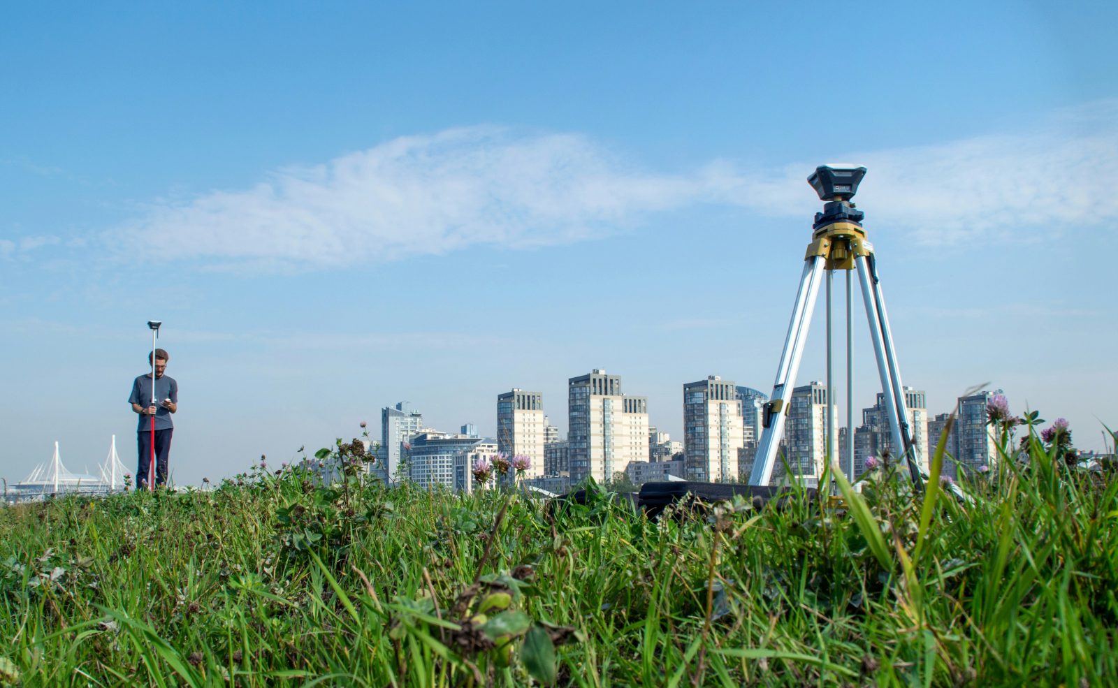
It’s not clear whether the judge ever got a look at how modern drone cameras and mapping and surveying applications can put slow-moving, high-cost manual methods to shame (though it’s evident she was never schooled in avoiding annoying word repetition).
As a self-described “First Amendment lawsuit,” Jones’ appeal details his work using “cutting-edge drone technology to capture aerial images and data about land and property — including orthomosaic aerial pictures, thermal maps, and other visualizations of information about land.”
It notes that while similar businesses providing a variety of aerial services “have thrived nationwide… (i)n North Carolina, however, drone start-ups have found themselves targeted by a centuries-old profession: land surveyors.” Indeed, deployment of the craft in food, medical, and emergency aid deliveries hasn’t seemed to bother anybody.
Jones’ appeal argues that imagery collected and shared constitutes “speech that is fully protected by the First Amendment,” justifying his “civil-rights lawsuit to vindicate (his) constitutional right to create and communicate images and data about land.”
For its part, the board says established rules still regulate surveying activity in the state, and those require Jones and anybody else involved to have a duly issued permit.
“Plaintiffs do not have a First Amendment right to practice land surveying without a license,” the board’s brief says. “Plaintiffs’ theory would gut licensing regulation of professions, including for the practice of law, medicine and engineering.”
According to Courthouse News, which brought the case to the world’s attention, board lawyer Douglas Hanna argued the case is not dissimilar to someone wading into any of those high-stakes professions using tech to fill training and experience gaps.
“There’s more than a hundred years of Supreme Court precedent, and the Supreme Court has told states that you have broad power to regulate these professions,” the Courthouse News quoted Hanna. “Because the public needs to know that there are minimum standards before you can become a doctor, lawyer, land surveyor, engineer. Somebody is relying on your degree of expertise, and if you make an error, that’s going to harm the public.”
It’s unknown how the three-judge panel may be leaning in the case, though one of the magistrates was quoted responding to descriptions of Jones’ aerial work by saying it “(s)ounds like a survey.”
True, but a drone survey. Maybe Team Jones should muscle up their arguments with a few Muskian free speech f-bombs, just in case.
Image: Valerie V/Unsplash
FTC: We use income earning auto affiliate links. More.


Comments