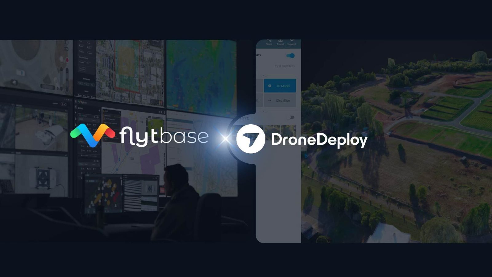
Reality capture specialist DroneDeploy and autonomous drone dock operations powerhouse FlytBase are joining forces to bring the best of both platforms to customers. FlytBase users now have a way to automatically load captured drone data into DroneDeploy to generate highly accurate 3D maps.
The development is exciting because, up until now, the drone software landscape has been pretty fragmented, with platforms focusing on different aspects of drone operations – be it fleet management, flight operations, or specialized data analysis for specific industries. A unified solution is a win-win for customers of both DroneDeploy and FlytBase.
FlytBase helps users to incorporate a variety of Beyond Visual Line of Sight (BVLOS) components – such as parachutes, detect-and-avoid systems, uncrewed traffic management, and weather systems. The hardware-agnostic company has helped customers obtain BVLOS certifications from aviation authorities in 10 countries, including the FAA in the United States, EASA in Europe, CASA in Australia, SACAA in South Africa, JCAB in Japan, and CAAM in Malaysia.
The platform goes beyond basic mission planning to offer advanced features like dynamic route planning and customized flight workflows. And now, the data captured in FlytBase can be easily synced and uploaded to DroneDeploy’s platform, where it is automatically processed into highly detailed 3D models and maps.
“DroneDeploy provides the important technology for operators to gain an instant view of data, no matter how it is captured,” says Andy Pavletich, group product manager at DroneDeploy. “From aerial and ground views of construction progress to automated gauge readings and methane leak detection, DroneDeploy reduces the need for time-consuming manual inspections, helping to mitigate risk and keep field teams safe. Partnering with FlytBase will give our customers a centralized way to capture, process, view, and analyze their data, providing businesses with the insights they need to operate more efficiently.”
Read more: This free software converts drone videos into 2D maps
FTC: We use income earning auto affiliate links. More.


Comments