An FAA UAS test site in North Dakota is preparing drones to support response efforts after Governor Doug Burgum declared a statewide emergency for spring flooding.
The Northern Plains UAS Test Site (NPUASTS) administers Vantis, a statewide beyond visual line of sight (BVLOS) drone network at the Grand Sky Business Park near Grand Forks. NPUASTS says it will use drones in several ways to enhance recovery efforts.
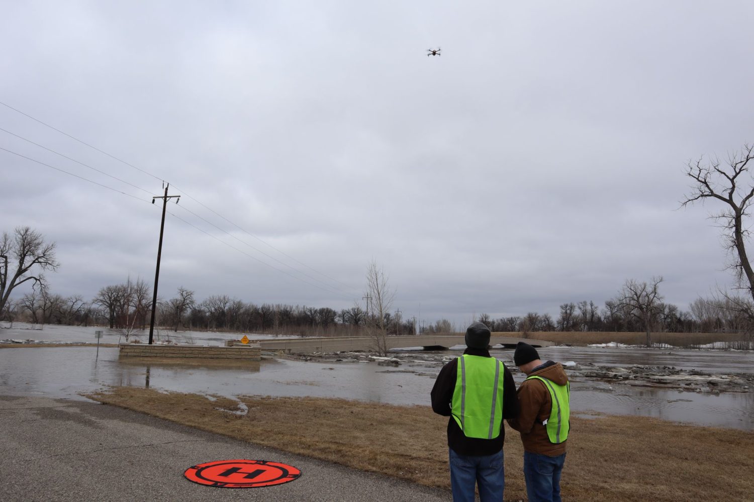
For instance, during pre-mitigation, drones will be used to monitor flood levels, melt rates, and ice jams. Further, drone flights will be coordinated with first responders for quick access to real-time information. A 24/7 Mission Network and Operations Center (MNOC) is also planned to enable secure, 24×7 coverage, and coordination with emergency response personnel.
According to NPUASTS, all drone images and video footage will be made available for public viewing. In addition, a comprehensive flood risk report will soon be available at www.grandforksgov.com, which will provide the community with up-to-date information about flood risk. This will allow people to prepare more effectively for possible flooding.
Read: Mavic 3 Pro drone: DJI’s worst-kept secret
“With Vantis, we’re supporting continuity in the state’s emergency response,” says Erin Roesler, director of operations and Vantis program executive. “It’s important that we recognize the state has this incredible platform in Vantis that will play an enormous role in the coordination of regional and, someday, state emergency preparedness plans.”
It’s worth mentioning that this spring flood season isn’t the first time Vantis has been called upon as a resource for emergency responders. In April 2022, heavy snow and ice in western North Dakota damaged utility infrastructure, leaving citizens without power. The state then mobilized drones to survey electrical infrastructure in rural areas, locate and assess the damage, and help prioritize resources for repairs and recovery, particularly in those areas which had become inaccessible due to high snowfalls or treacherous road conditions.
“As experienced flood fighters, North Dakotans are always looking for new and better solutions to the flooding challenges faced by our citizens and communities, and the state’s significant investment in drones gives us an innovative tool to help protect people and property,” says governor Burgum. “Providing real-time perspective and data collection from the skies will help our flood-related efforts on the ground.”
Read: DJI teases new product with triple-lens camera. Mavic 3 Pro drone incoming?
FTC: We use income earning auto affiliate links. More.


Comments