The United Kingdom is inching closer toward making drone delivery a reality. And it’s counting on location data from Ordnance Survey to do that.
The buzz about drone deliveries in the UK picked up pace this week when the country’s Civil Aviation Authority gave the green light to beyond visual line of sight (BVLOS) test flights. Right now, these BVLOS flights will be conducted in industrial environments only – and that too for inspection and maintenance purposes. But if the trials are successful, they could soon pave the way for much broader uses of drones in the UK, including parcel deliveries.
In the meantime, the country’s national mapping agency, Ordnance Survey (OS), has been quietly helping drone companies to prepare for future success in the delivery world.
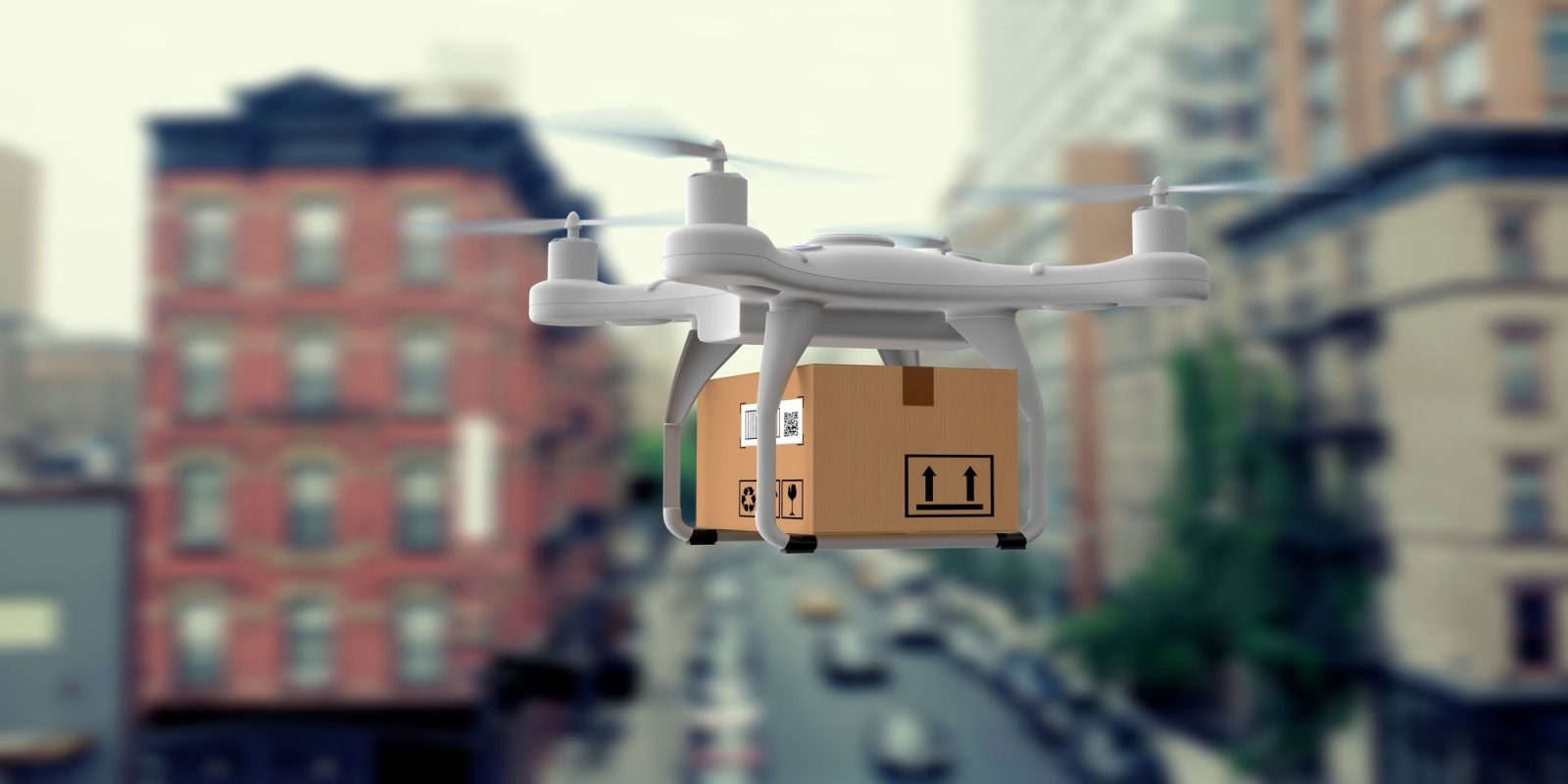
You see, when we talk about drone deliveries, just having the right house address is not enough. Drone delivery companies need to know everything from where a drone can land to which flight paths must be taken.
And this is where accurate mapping and location data from OS comes in.
Identifying safe flying areas for drone delivery
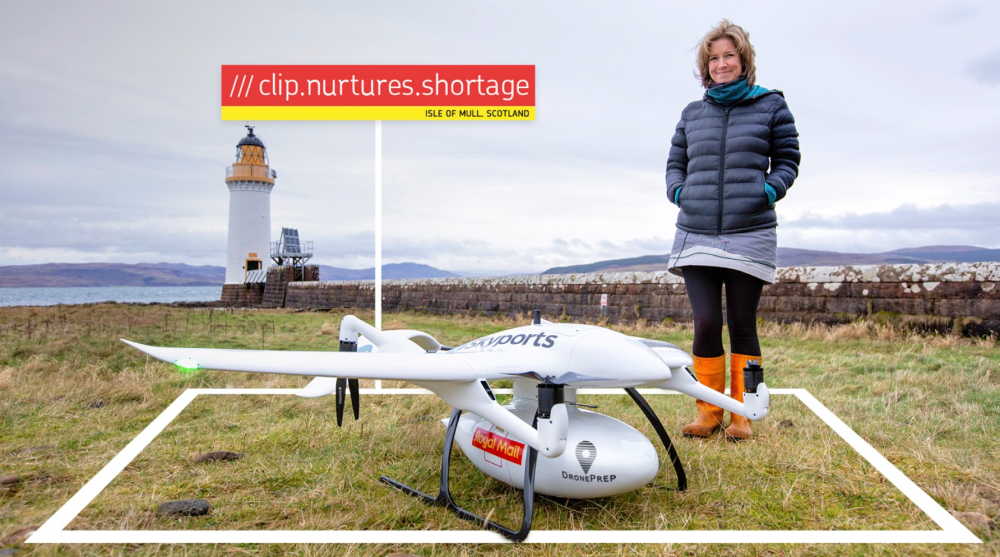
UK-based startup DronePrep came to the market with the intention to bring drone pilots and landowners together under one platform. But as the COVID-19 pandemic swept across the nation, it became clear the platform could be used for other purposes too. This included facilitating medical drone deliveries, such as sending PPE kits and health equipment to remote areas.
DronePrep turned to OS’s location data to understand low-level airspace environments, identify safe flight corridors, and define exact landing points. A multi-organization collaboration soon resulted in a trial project at a remote location on Scotland’s Isle of Mull. Through this, the national mail service provider, Royal Mail, become the first UK parcel carrier to use a drone to deliver a parcel.
National database of drone delivery sites
Similarly, address matching company Addresscloud is using rooftop-level accuracy OS data to create a national database of suitable landing sites for delivery drones. Its LandSafe database checks each potential landing site for airspace restrictions, obstructive vegetation, and water, and other potential aerial obstructions like masts and pylons.
LandSafe is a really exciting development in the use of drones for logistics. By linking every address with a landing suitability score, businesses and the public sector will be able to safely and effectively plan last-mile deliveries using drones nationwide.
Mark Varley, CEO, Addresscloud
Risk assessment for commercial drone insurance
OS is also working closely with UK-based pay-as-you-fly drone insurance provider Flock since 2018. Flock’s algorithm uses spatial data from OS to make risk assessments of potential drone flights. The software analyses air traffic flows, weather patterns, and mobile data to recommend the safest flight path to drone operators.
And we all know as drone users grow across the board – film and photography industry, surveyors and inspections, agriculture, air taxis, cargo deliveries, and hobbyists – having accurate, up-to-date information about the safest flight path has become more important than ever.
For years OS data has accurately mapped every feature and address in the country, supporting delivery drivers, making sure that houses get parcels. Now our data is helping drone pilots to deliver parcels from the air. It’s no longer just about the traditional road map, it’s also about air corridors and safe landing sites.
Stefan Wells, OS’s partner engagement lead
To get more information about geospatial data from Ordnance Survey, visit the OS Datahub.
FTC: We use income earning auto affiliate links. More.


Comments